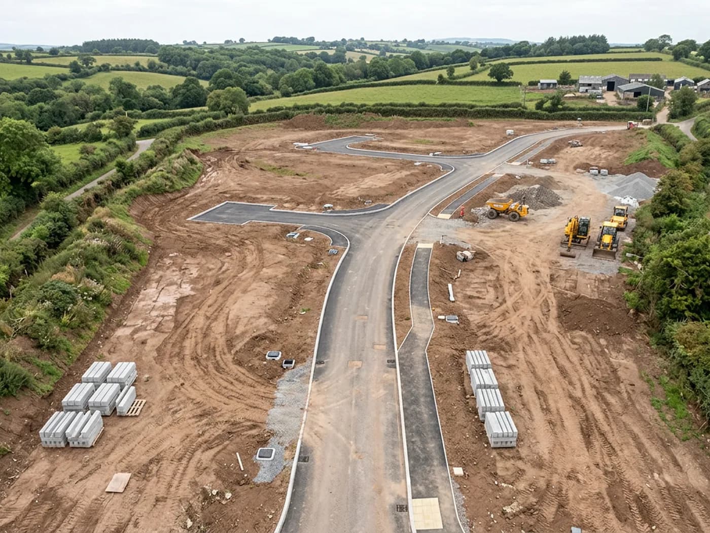
Orthomosaic site mapping
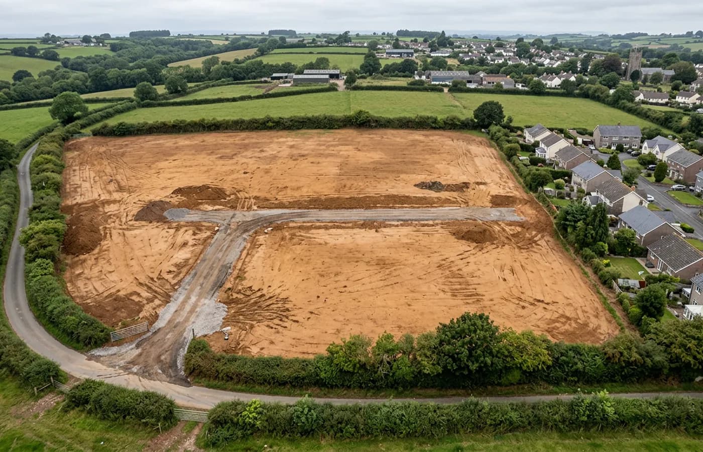
A single scaled, geo-referenced image of the whole site, stitched from a flight grid, ready to draw over in CAD or drop into a GIS.
Site mappingFor surveyors, architects and developers
Geo-referenced orthomosaics, terrain models, contours and point clouds of your site, processed from a single flight and handed over in the formats your own software already reads.
The gap
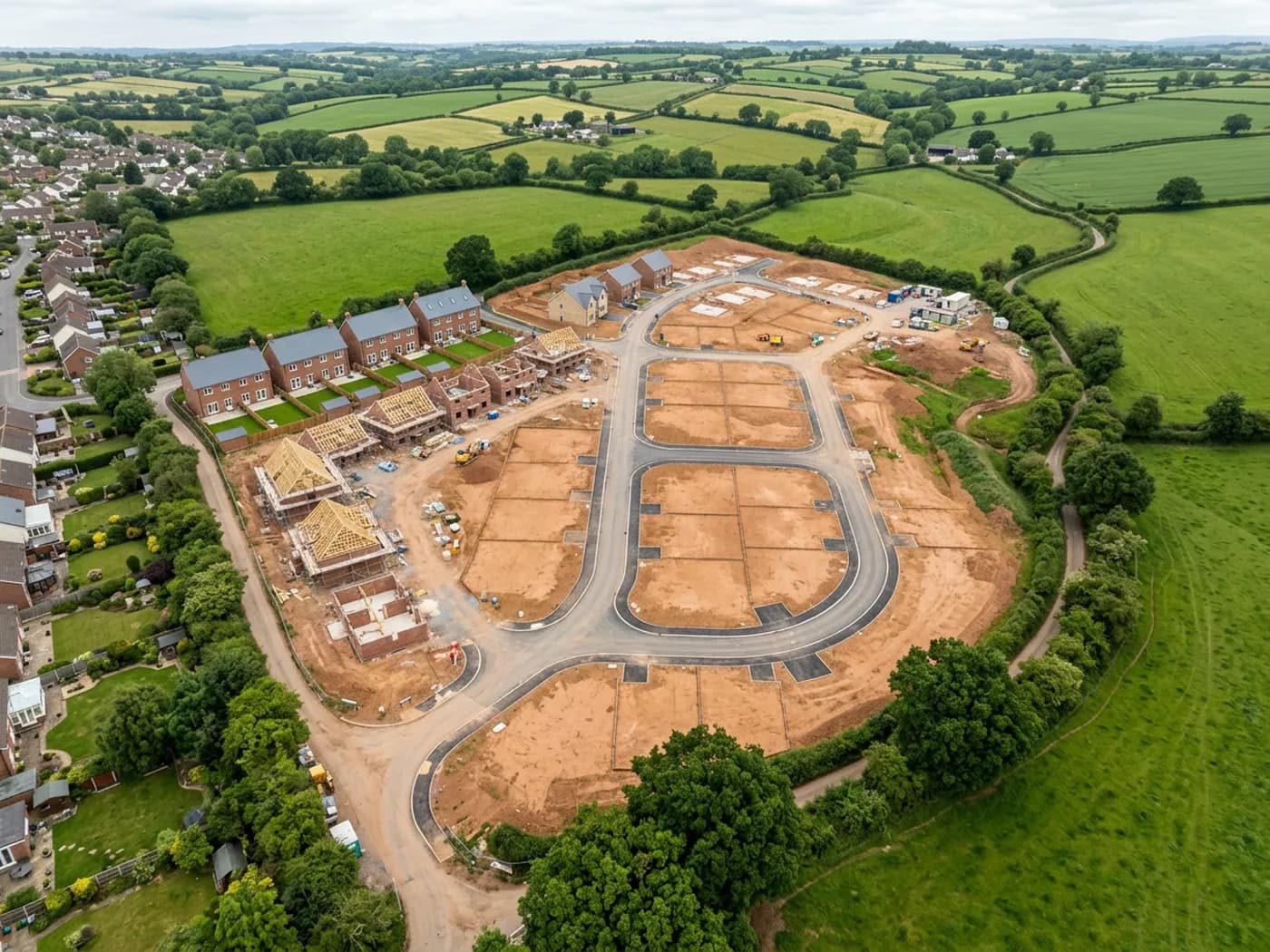
Most aerial work sold to the construction and property trade is photography: a good picture of a site from above, taken from one position, with the perspective and the lens distortion still in it. Useful for a brochure, no use at all under a drawing. Measure across it and the answer changes depending on where in the frame you measured.
What a design team, an estimator or a planning consultant actually needs is the site as data. One scaled image of the whole thing, tied to a coordinate system, with heights underneath it. A surface you can trace an existing boundary off, cut a section through, take a stockpile quantity from, or set a proposed layout against.
That is the whole of this site. Same aircraft, same pilot, a different job: the deliverable is a file you open in your own software, and the writing here is about what those files are, what they can be relied on for, and where they run out.
Services
A single scaled, geo-referenced image of the whole site, stitched from a flight grid, ready to draw over in CAD or drop into a GIS.
Site mapping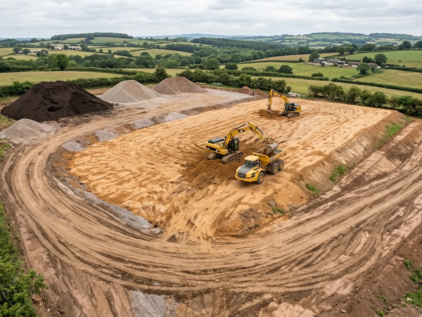
Surface and terrain models with contours, sections and cut and fill or stockpile volumes, for earthworks estimating and drainage design.
Terrain and volumes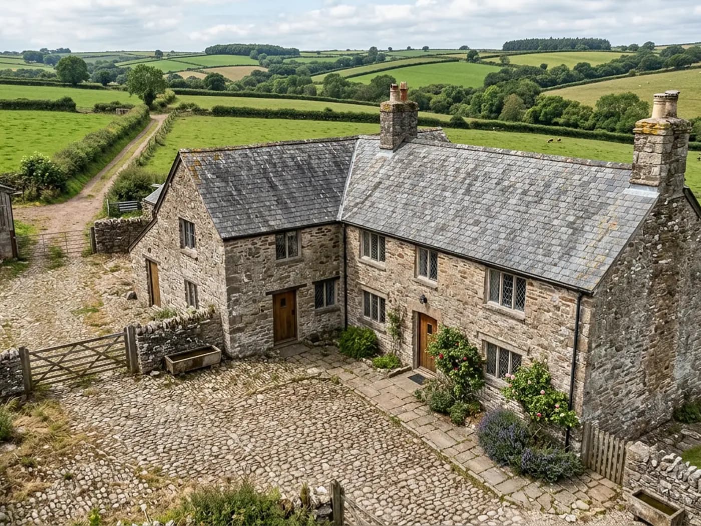
Dense point clouds and textured mesh models of a site or a building, for design work, visualisation and taking measurements off an existing structure.
3D site modelsCredentials
Operator ID and Flyer ID held, which is the baseline anyone commissioning a flight over a live site should be asking to see before anything takes off.
The qualification that covers flying closer to people and property than the open default allows, which is what a built up site or a town centre survey needs.
On a DJI Mavic 4 Pro. Resolution is the whole argument on a mapping job: it decides whether a stitched site map shows a plot peg or a smudge.
A DJI Mavic 2 Enterprise Advanced with a 640 by 512 thermal sensor, for the jobs where a site needs a heat reading alongside the map.
Full commercial cover. Certificates go to your site team or your client before the visit if that is part of your process.
Every job comes with a written record of conditions, coverage and the limits of the data, not just a folder of files with no explanation attached.
The surveyor came into this from building work rather than from photography, so a site brief about levels, access and programme lands without translation.
The handover

The work
Coverage
Questions
Elsewhere
See the output formats
Tell us the address and what you need looking at. Sam Hembury will come back with a fixed price and the next available slot.